Posts by: Chris Whong
-
As more governments and businesses are adopting proactive open data policies and programs, the infrastructure of data publishing is becoming increasingly important. The time-honored tradition of publishing file-based machine-readable data on the web is still alive and well, but live, api-accessible databases can help when publishing data that is updated frequently, or is so large that publishing it as files becomes inefficient. Luckily for you, if you have a CartoDB account, you already have a live, api-accessible database at your disposal! Read on to learn how CartoDB can help make your open data shine.
-
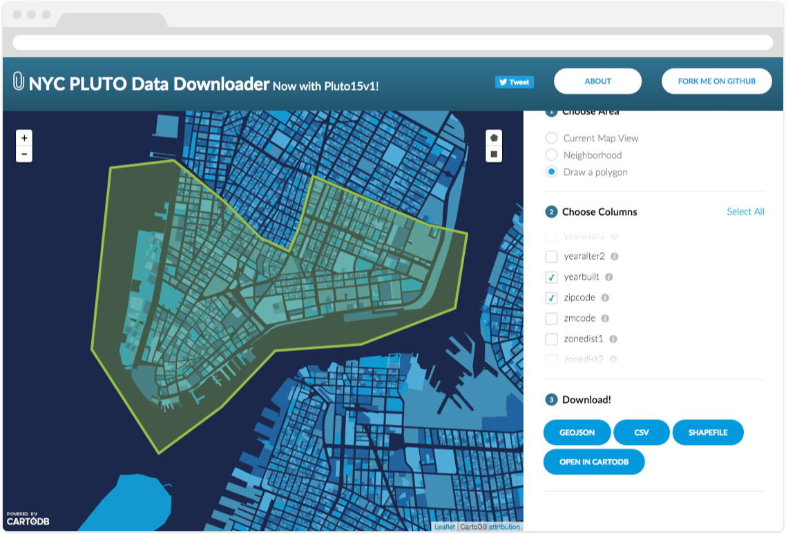
The NYPD recently made waves with an open data release, sharing fairly detailed crime data about the “seven major felonies” for the first 3 quarters of 2015. The dataset has a row for every incident, including location (as lat/lon), date/time, etc. However, as with many crime datasets, the point locations have been adjusted to mid-block or nearest intersection so that you can’t determine exactly where the reported crime occurred. As you might expect, there are many locations in NYC where multiple crimes occurred on the same block/intersection, so we end up with many rows that have the exact same point coordinates. This is a mapper’s conundrum, as point markers will simply overlap each other, only allowing you to see the one point when there are many beneath it.
-
FIWARE is a public-private partnership launched by the European Union in 2014 to promote the development of smart cities apps based on open standards and open source code. By providing tools and components in areas such as data management, Internet of Things interoperability, and information security, the initiative seeks to provide simple, standards-based interconnectivity between apps across any vertical.
The FIWARE Development team at Telefónica has recently built a connector for CartoDB. The python script parses data from a FIWARE “Context Broker” (a service which allows for easy publishing of/subscribing to frequently updated data). By leveraging CartoDB’s SQL API, the connector updates rows in a CartoDB table with the latest data from the context broker, keeping the map’s underlying data as fresh as possible.
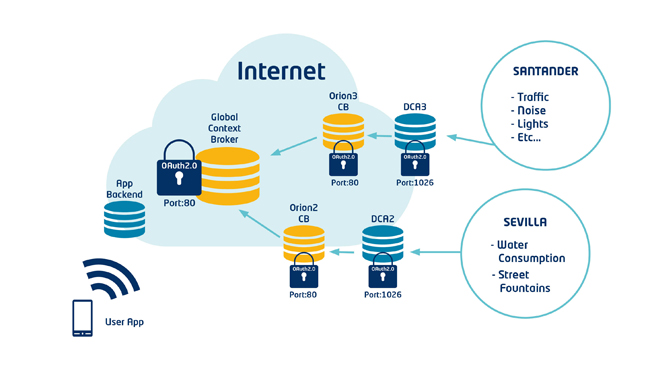
Architecture Diagram of a FiWare "Context Broker" publishing sensor data
-
CartoDB is built on top of PostGIS, the powerful add-on that turns PostgreSQL into a spatial database. Many popular Geoprocessing functions in GIS software can be done with PostGIS queries, and this blog series will provide a one-for-one replication of the functions in QGIS’ Vector>Geoprocessing Tools menu.
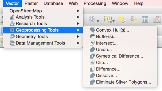
In QGIS, the Vector menu has all sorts of goodies, but we’ll focus on the Geoprocessing Tools submenu, which has Convex Hulls, Buffers, Intersects, Unions, Dissolves, and more. If you’re making maps, these are important tools for the data-munging process, and with a little SQL and PostGIS you can do them right here in CartoDB! We’ll start with two: Convex Hull and Buffer.
