Posts by: Paul Ramsey
-
One of the things that makes managing geospatial data challenging is the huge variety of scales that geospatial data covers: areas as large as a continent or as small as a man-hole cover.
-
“Find me the nearest…” is a common way to start a geographical query, and we’ve talked about how to write such queries for single points, but it can be tricky to carry out in bulk.
CartoDB supports high performance “nearest neighbor” queries, but getting them to run in bulk on a whole table can be tricky, so let’s look at the SQL we need to make it happen.
-

To an outside observer, serving a population of 150,000 map creators and millions of map viewers might seem like a simple matter, but to us it’s a big complex deal, and we’re always looking for ways to make the CartoDB
platform faster! -
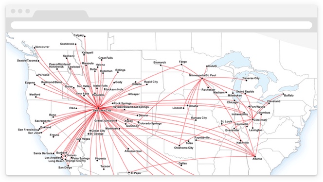
As a child, nothing was more exciting to me than a chance to ride on an airplane. And after enjoying playing with the seatbelt buckle and feeling the crazy push of take-off acceleration, I would usually settle in and page to the back of the in-flight magazine where the airline route maps were: where were we going today, and where could we go tomorrow?
-

Apps with maps, on phones and on the web, are frequently built around “nearest neighbor” queries, sifting through a database to find the records that are contextually appropriate given an input location.
- Find me all the records that fit in the map!
- Find me all the records within 1km of the user location!
- Find me the 10 records nearest to the user!
For “records”, replace with “restaurants” or “gas stations” or “future close friends” depending on the application you are building.
-
CartoDB has an excellent and easy-to-use synced tables feature, that reads data from a public URL on a regular schedule and keeps an associated CartoDB table up-to-date. However, synced tables require the data to be publicly available so CartoDB can read it, and that the destination table get over-written at each update.
-

WMS! What, more stuff? We make software, with map standards: Web Map Server. That is to say, CartoDB now offers the possibility of making its visualizations viewable via the Open Geospatial Consortium (OGC) Web Map Server (WMS) and Web Map Tile Service (WMTS) standards. The newest, hippest maps on the web just got “old school”.