Category: Application development
-
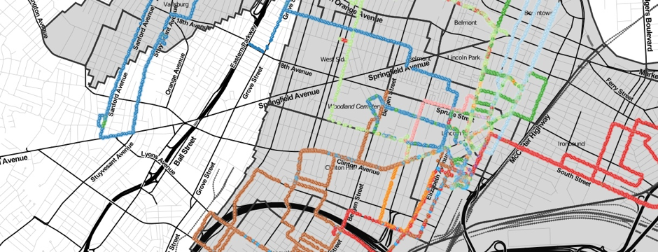
The ‘smarter city’ is all the rage, and while a buzzing megapolis may have the complexity and resources to deploy a mayoral ‘geek squad’ or install flocks of sensors, the average town has to fulfill its duties on a much tighter budget.
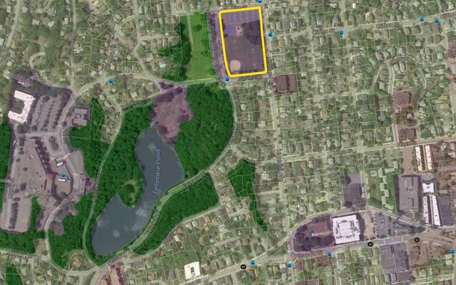
We’re all about tools that bring location intelligence to everyone, which is why a new product from our partner AppGeo has us excited. They just launched the next generation of MapGeo, a data management and visualization platform for local governments. They’ve rebuilt it from scratch using CartoDB, and, if we may say so, MapGeo 2.0 is fantastic.
If you’re interested learning more about what MapGeo can offer your town or city, we hope you’ll join our October 8 webinar.
-
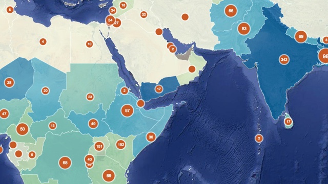
For folks working in global development – whether in micro-finance or environmental protection or food security – one common challenge is collecting data from a huge range of far-flung projects. New technology tools are helping, though, and bringing loads of useful NGO data online.
-

With this third installment of our Developer Interview series, we welcome Fedor Baart to join the discussion about how scientists and developers using CartoDB for research and geospatial science!
-
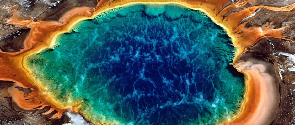
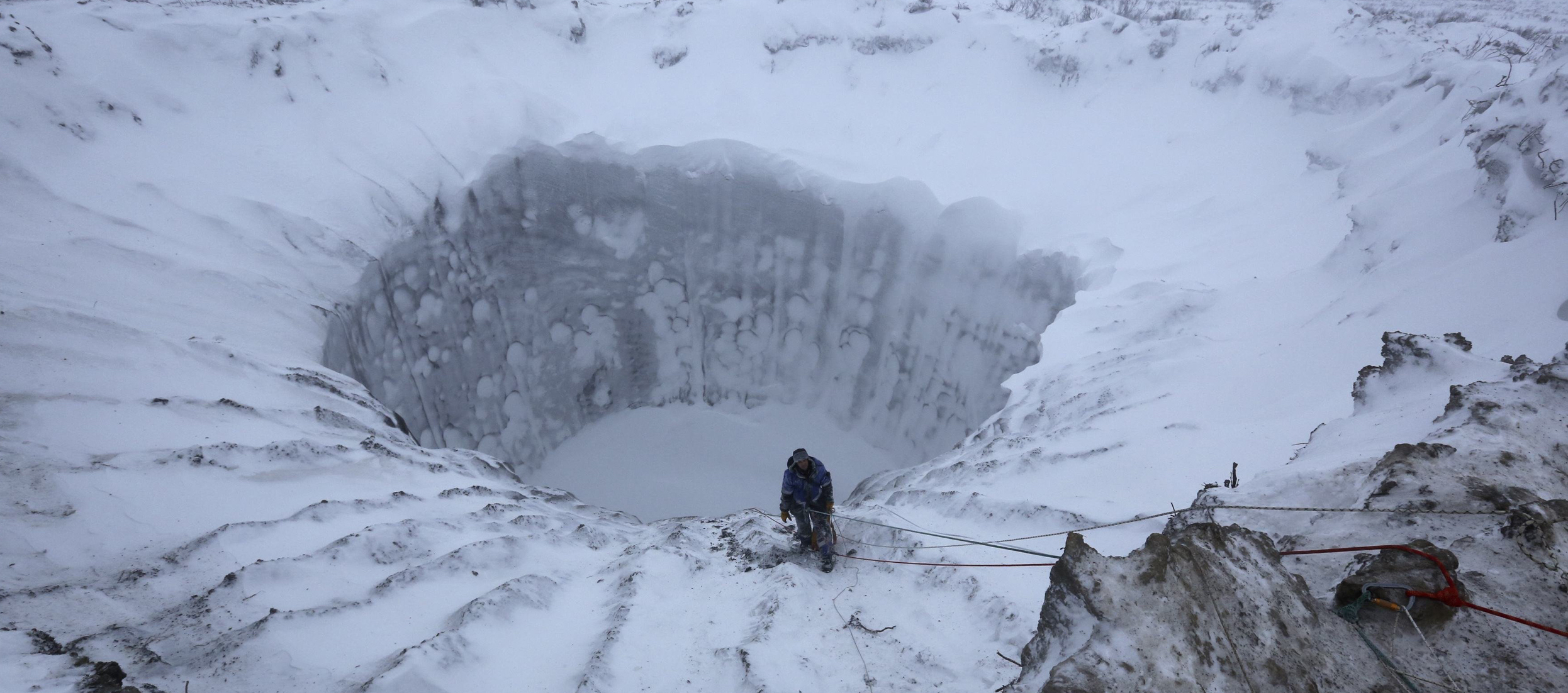
FME, a product of CartoDB partner Safe Software, is the most flexible glue around for connecting two applications via their spatial data. And FME now supports CartoDB. Supporting more than 325 file formats, FME is a real workhorse. In fact, FME is so versatile, we think it could be a handy way to prep for the Yellowstone Supervolcano. You know, just in case.
-

We’re gearing up for the Mobile World Congress in Barcelona, where the conference agenda highlights the blistering pace of growth and innovation in mobile communications. Mobile healthcare? Remote education? 5G?
-
The open data movement is sweeping the globe like winter storm Juno has swept the Northeast. Yet when individual cities want to make their data available online, they don’t want to end up with a data portal that’s too unique a snowflake — and thus too hard to use and maintain.
-

Second installment of our Developer Interview series. How are developers using CartoDB to develop geospatial applications? They tell you. Today we welcome Liam Densley. Liam is a Data Analyst at Geoplex, a company based out in Sydney creating some advanced projects with CartoDB.
-

After the great reception at FOSS4G, where we presented our CartoDB Developers Program, we’d like to show developers and companies what it entails to develop on top of the CartoDB Platform and why it’s the best place to develop and commercialize geospatial products. And what better way to demonstrate this than by inviting those developers who are already using CartoDB to do business to share their experiences using our product?
-

At FOSS4G in Denver, three years ago, our team huddled in a house rapidly committed the final code for our CartoDB Beta release. That year, and every year since, we have spoken, sponsored, and loved being part of FOSS4G. This year, we have more than 6 talks and workshops involving CartoDB!