Category: Cartodb
-
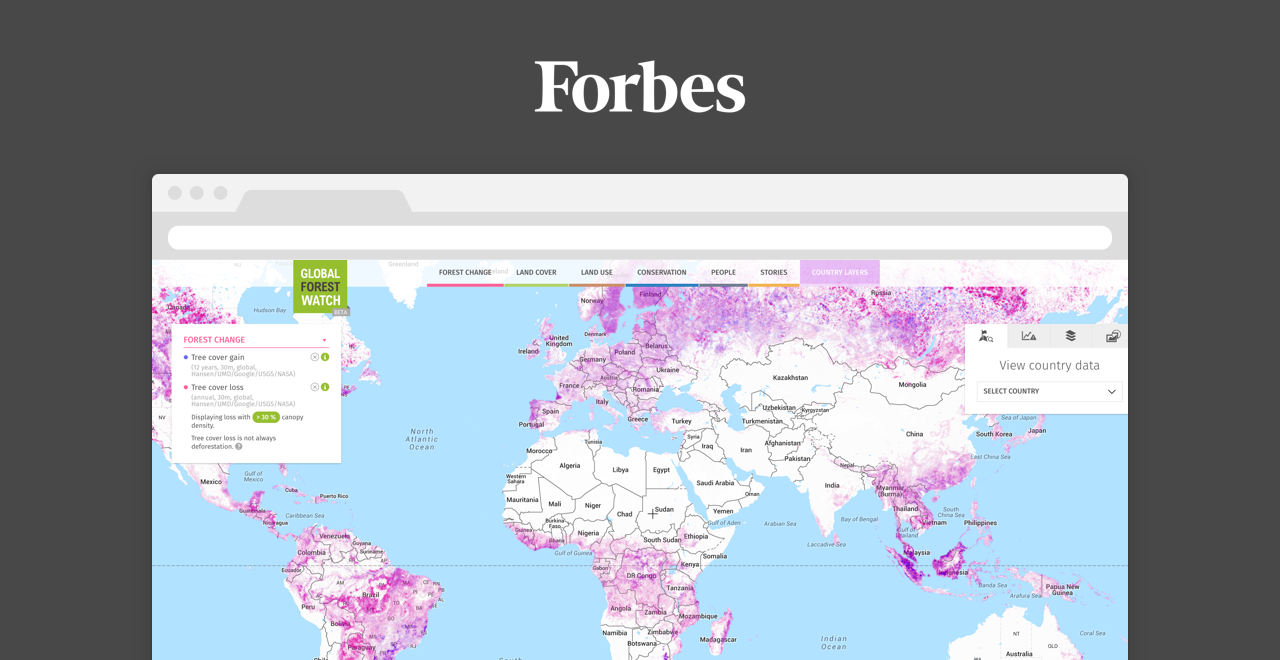
How we view, collect, and process data has gone through a revolutionary transformation. Roughly 45 years ago, the most widely disseminated image of the Earth was captured by NASA, The Blue Marble. Eight years ago, smartphones were invented – forever changing the way we take images and store and collect data. Now, companies like CartoDB are ushering in the age of data analysis.
-
As we ease into 2016, we feel reflective about the changes and their magnitude in our industry. For instance, just a few of weeks ago, one of the most popular geospatial initiatives came to an end, with Google deprecating Google Maps Engine (GME). In response, CartoDB created a platform that works with Google Cloud, which offered Google’s clients the option to stay in the same Google ecosystem while providing a seamless transition to the most similar platform
to GME.Yet it still seems like yesterday when we launched as an effortless tool for turning geospatial data into interactive maps. Since 2015, CartoDB has grown into a location intelligence software solution for deep geospatial analysis and visual data discovery, providing features such as dynamic data filtering, an ability to retrieve complex geospatial queries, available on the cloud and on-premises.
-
Last week’s Partner Summit was a smash hit! With representatives from more than 50 partner companies, ranging from small geo-consulting firms to large systems integrators to other SaaS businesses, this two-day event had all the right voices. Here’s a quick recap and some thoughts on the future.
-

We’re excited to introduce our newest addition to our Board of Directors. Anthony Deighton hails from Massachusetts and has over 10 years of experience in the visual analytics industry.
-
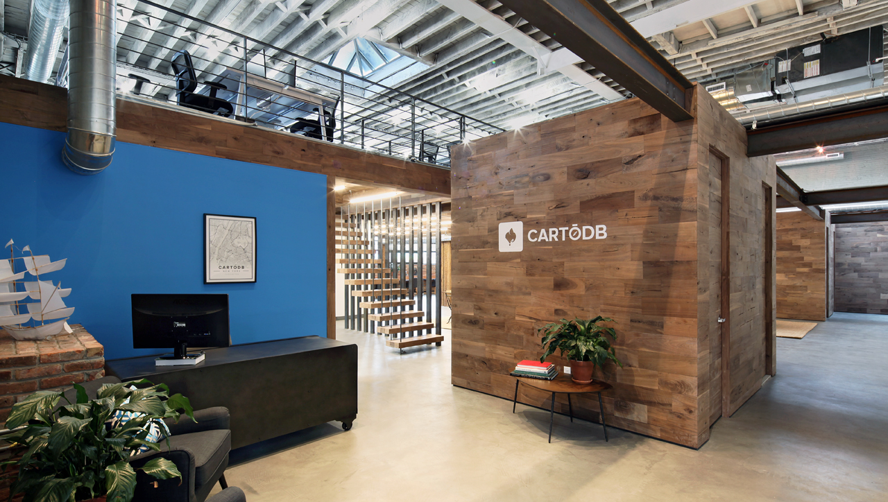
CartoDB recently moved to an amazing new office in Bushwick, Brooklyn. With over 25 employees, we were bursting at the seams in our Williamsburg office and needed to find a spot that would allow our team to expand into our
next phase.


