Category: Partners
-
Every day large volumes of location data are generated by social networks, remote sensing, and mobile devices. For quite some time, Geographic Information Systems (GIS) has been used as the standard tool to manage and analyze this type of geo-referenced data. However, GIS tools have always been oriented towards professionals in geomatics than to the general public, creating a barrier to real insights and data analysis.
-
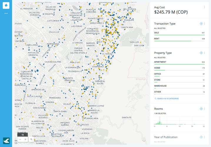
 What’s the busiest airport in the United States? That simple question led Geographica on a path to insights and analyses of airports and flights all around the globe. Geographica specializes in software solutions to sort, analyze, and visualize data. Using CartoDB, they developed a data-driven visualization to derive insights on thousands of data points.
 -
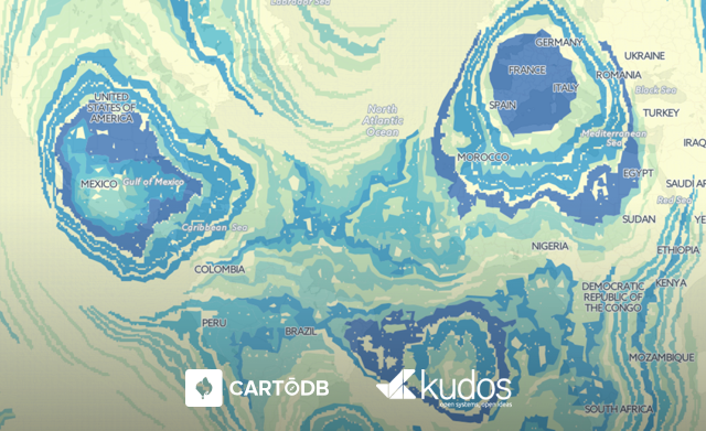
GKudos, a CartoDB partner, is a GIS visualizations firm that specializes in the management, analysis, and publication of geo-referenced information. One of their goals is to help customers have increased productivity and competitiveness through the use of information technology and telecommunications.
-

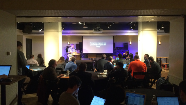
Last week’s Partner Summit was a smash hit! With representatives from more than 50 partner companies, ranging from small geo-consulting firms to large systems integrators to other SaaS businesses, this two-day event had all the right voices. Here’s a quick recap and some thoughts on the future.
-
Lewis and Clark. Armstrong and Aldrin. Williams and… Williams? If you’re going to achieve great things, it’s imperative that you pick the right partner. Someone you can trust, and who offers talent and vision.
-
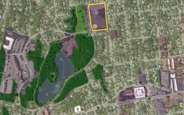
The ‘smarter city’ is all the rage, and while a buzzing megapolis may have the complexity and resources to deploy a mayoral ‘geek squad’ or install flocks of sensors, the average town has to fulfill its duties on a much tighter budget.
We’re all about tools that bring location intelligence to everyone, which is why a new product from our partner AppGeo has us excited. They just launched the next generation of MapGeo, a data management and visualization platform for local governments. They’ve rebuilt it from scratch using CartoDB, and, if we may say so, MapGeo 2.0 is fantastic.
If you’re interested learning more about what MapGeo can offer your town or city, we hope you’ll join our October 8 webinar.