-
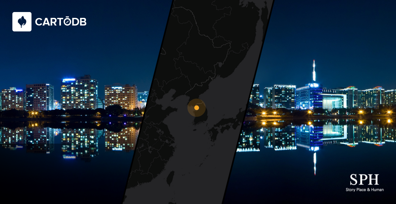
CartoDB loves going new places and exploring new things. That’s why we take risks with our technology and platform, which ultimately provide new insights for you and for us! So it is not surprising that we will be heading to South Korea. While we are there, please don’t hesitate to email us to arrange a meeting to discuss location intelligence and better data analysis.
-
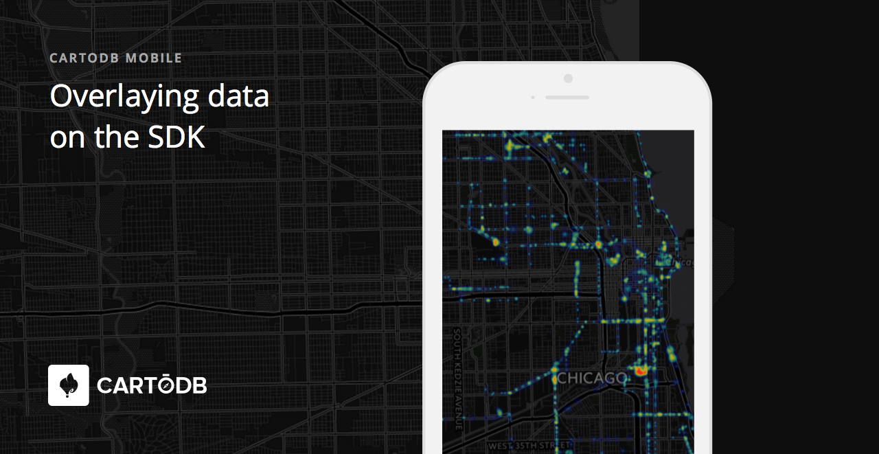
Welcome to the fourth blog post of our mobile blog series! We hope you have been learning new insights on how to leverage CartoDB’s native mobile SDK for your device. Today, we’ll be discussing the most typical application of the SDK: showing data on a map and how it can be done technically.
-
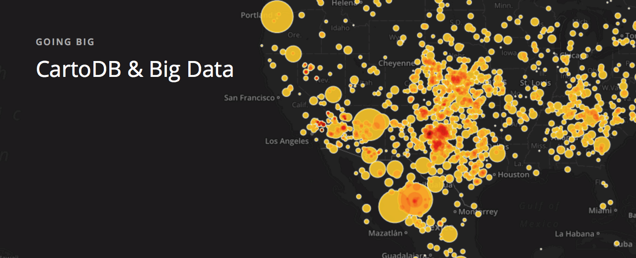
As we announced last week, today is the first day of Big Data week at CartoDB!
How can we begin to better understand and explain what big data is? Everyday we read in newspapers and social media the words ‘big data’ as it applies to businesses and systems of analysis and data aggregation. While it may seem like a marketing ploy, a critical approach to understanding what exactly big data is can provide new meaning to business intelligence.
-
One of the things that makes managing geospatial data challenging is the huge variety of scales that geospatial data covers: areas as large as a continent or as small as a man-hole cover.
-
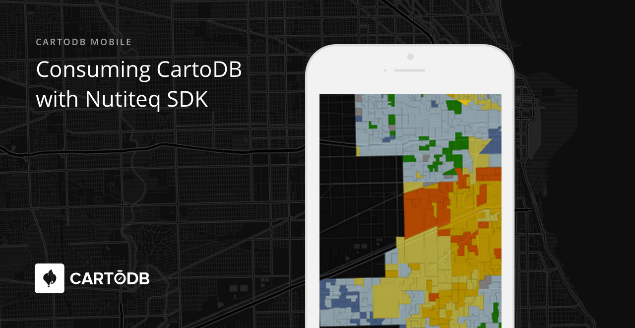
This is our third post of CartoDB’s mobile blog series. If you’ve missed any of our previous posts you can view them here and here. In this edition, we’ll continue to build on the information from the earlier posts and present new and compelling details on how you can consume the same CartoDB platform and engine that you love with the Nutiteq SDK.
-
'
The US Environmental Protection Agency (EPA) has an incredible amount of data available to people, and the Risk-Screening Environmental Indicators (RSEI) microdata is a whopper of a dataset. RSEI is an air model which organizes results from environmantal data collected. Specifically, it tallies the quantities of release and transfer of chemicals, and is used to rate the air you breathe. The EPA is re-releasing this data by way of Amazon’s public data portal for anyone to use and visualize.
-

What is constantly increasing its volume, variety, and velocity and greatly effects your business’s bottom line if not properly utilized? Big Data!
At CartoDB we know just how important the amount of data that you collect, how you understand and analyze that data, and how that analysis turns into better cost effective decision making for your organization is.
-

CartoDB is really excited about the upcoming FOSS4G-Argentina! Held in Buenos Aires, Argentina from April 5-9, and organized by the Instituto Geográfico Nacional of Argentina, CartoDB is a proud sponsor of this event that brings together decision makers from government institutions, IDERA members, universities, and state employees.
-
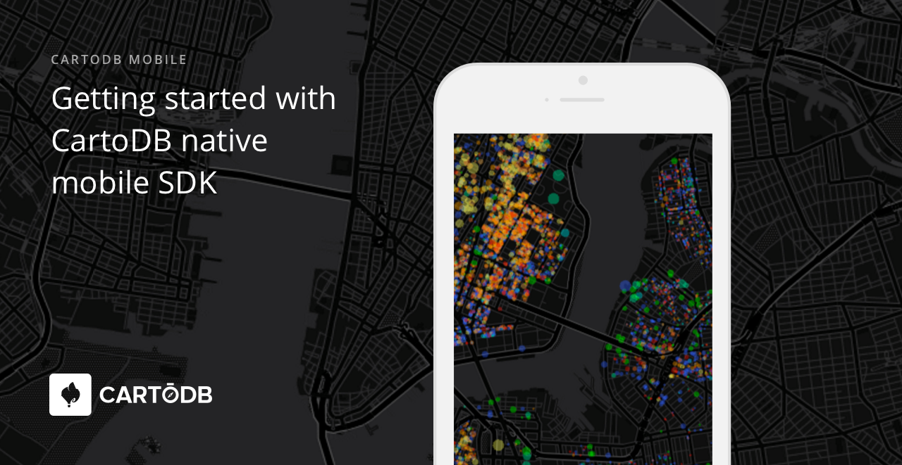
Welcome to the second blog post of our CartoDB mobile series! I’m back to advise you on how to get started with CartoDB’s native mobile SDK.
Currently we offer the well-proven Nutiteq Maps SDK version 3.x as the CartoDB native mobile SDK. One of the first things you’ll notice is that the Nutiteq SDK is not specific or technically dependent on CartoDB, due to its long history. So let’s get started building your first CartoDB mobile app!