-
Guest post by Laura Allen
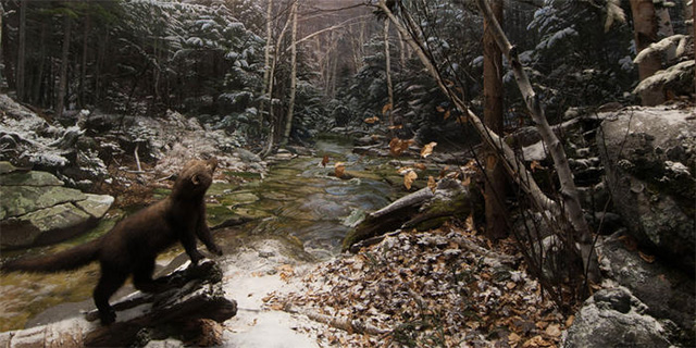
When I pitched my article Keeping up with the Carnivores for JSTOR Daily on the encroachment of predators into urban America, I knew that one of my favorite carnivores, fishers, were perfect for the story. Fishers are slinky members of the weasel family that have bounced back in recent decades from historic hunting pressure.
In 2012, when I was writing new interpretive panels for the restored dioramas in the American Museum of Natural History’s Hall of North American Mammals (you know it—the one with the big brown bear), I learned from mammalogist Roland Kays that fishers were no longer confined to deep evergreen forests as in the White Mountains, NH scene depicted in the 1950’s-era diorama below.
-
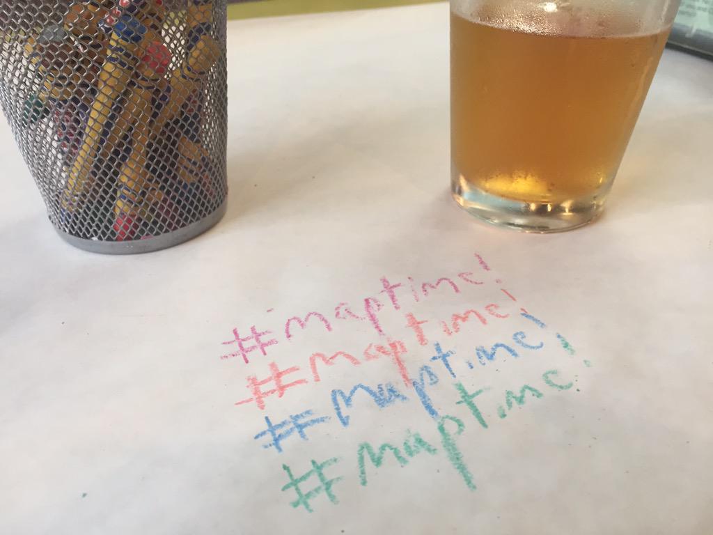
At CartoDB we love our mapping communities. With Maptime being one of our favorite gatherings - and a catalyzer of mapping culture not only in CartoDB’s home of New York City, but across the world - We felt it was time to give a big pizza slice shaped thank you to all the map-building, pizza-loving folks that have elevated Maptime as a staple in cartographic culture.
-

WMS! What, more stuff? We make software, with map standards: Web Map Server. That is to say, CartoDB now offers the possibility of making its visualizations viewable via the Open Geospatial Consortium (OGC) Web Map Server (WMS) and Web Map Tile Service (WMTS) standards. The newest, hippest maps on the web just got “old school”.
-
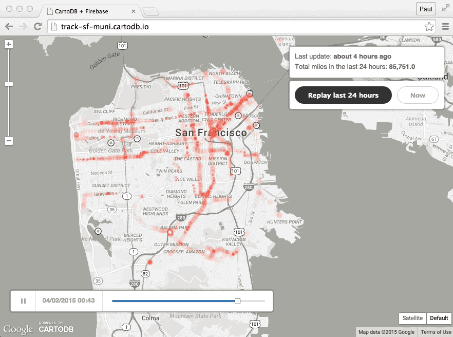
In the wake of World Water Day (water puns for the win!), we’re plotting this Map of the Week using CartoDB + OdysseyJS to characterize rivers, and chapterize learning about location via Mexico’s Mississippi: Rios Lerma y Santiago. Read on for more about this rad approach to our understanding of environment, Latin America, and running a river through episodic narrative!
-
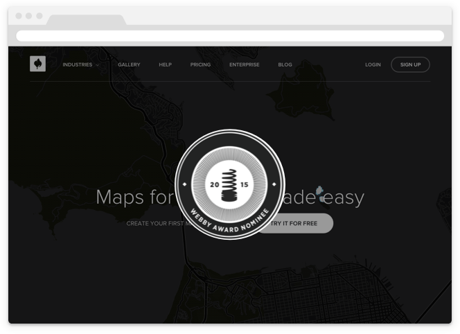
CartoDB is very honored to announce that we’ve been nominated for a Webby! How do you say thank you in five words or less?
-

Next Wednesday, April 15th, we’re hosting a new edition of CartoDBeers - the informal gathering where we talk about maps, tech, and latest news. This time we are proud to welcome our very own Paul Ramsey, who will be presenting ‘Magical PostGIS in three brief movements.’
-

Please read/sing along in the tune of the funky sounds of DJ Jazzy Jeff.
Now, this is a story all about how CartoDB teamed up with another Andrew/ Andrew with a T - and brought him to the Sales Engineering team.
CartoDB’s newly hired Andrew Thompson joined the Sales Engineering team in NYC last month. AT is fascinated by cities and town infrastructure - he studied ‘Growth and Structure of Cities.’ AT also likes board games (I present the friendly challenge of ‘longest road!’). Thompson can be found all weather bike commuting (hopefully not from Philly, where he lives, to NYC), engrossed in the travel readings of Bill Bryson, or hanging out with some Quakers in the Quaker State. If you were wondering if he knew a very fresh member of royalty that was born and raised in West Philadelphia…you’ll just have to ask him.
-

To say SharePoint is a popular enterprise software platform is a bit of an understatement. Having evolved over 15 years, SharePoint is used by over three quarters of the Fortune 500 and over 100 million users in all. SharePoint is often described as a document-sharing, intranet, and business collaboration platform, but really its functions are as varied as the organizations that use it.
As CartoDB grows in popularity with companies as a fully-featured enterprise geospatial platform itself, it was only a matter of time before our users would want to combine their CartoDB maps with their Sharepoint sites. They work together splendidly, we’re pleased to say, and we have recently published a short 10 minute tutorial on how to share your visualizations through Sharepoint. Enjoy!