-
World Water Day was celebrated this past Sunday bringing attention to issues around water and sustainable development. Given current water use, the UN predicts the world will face a 40% shortfall in water by 2030. Recent news on California’s on-going drought, and the environmental risk posed by hundreds of dams in the US highlight the importance of water in our lives.
-

With Google Maps Engine (GME) closing down next year, GME users are looking for alternatives. CartoDB offers a great solution for mapping vector data, but some users also have raster imagery they use in maps. For those users, here’s a reliable and simple way to keep hosting imagery in the Google cloud after GME shuts down.
-
Have you ever wrestled with iframes in responsive websites? What about resizing them after the page is loaded? Or maybe your site relies on consistently themed embeds from multiple services? If any of those or any other challenges of using map embeds on your platform sound challenging to you, look no further - CartoDB is now a supported Embedly endpoint.
-
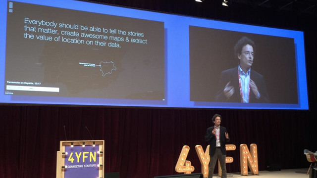
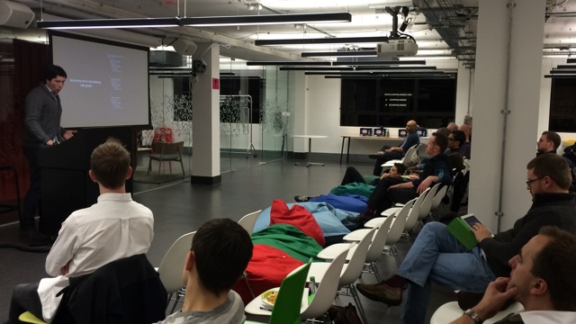
Two weeks ago the CartoDB team spent a very intense week in Barcelona, participating in the Mobile World Congress and 4YFN events at two different booths. We are certainly blessed to have such a conference take place so close to our Madrid offices, with so many relevant enterprise actors from all over the world passing through.
-
Data.gov has been publishing United States Federal Government data since 2009. Their mission is to increase public access to over 125,000 datasets they have already published and many others they are still collecting and indexing. In the years since its launch, the platform has stimulated creativity through civic hackers, technology companies, educators, and many others.
-
In 1905, the New York Times declared New York City, “the noisiest city on Earth.” Little has seemingly changed with hundreds of thousands of noise complaints logged with the city’s 311 complaint hotline every year since 2010. As a public data excerise, I created a choropleth map of 311 noise complaint data from 2014 normalized against the latest population figures from the city.
Mapping New Yorker noise complaints can only give us a spatial dimension to individual perceptions of noise. Our sense of what constitutes noise is highly personal, determined by factors such as our upbringing, community and society. Until the city attempts to measure the street noise by decibels, the only available data to work from is the city’s 311 complaint line. Here’s what I learned, and how to make your very own Noisy New York City map.
-

We are happy to announce Antonio Zamorano is joining CartoDB team as Systems Engineer. He will be mostly helping the team automating tasks and scaling the platform to its next level.
-
As you probably know, we have a deep commitment with the open data and mapping communities. We feel supporting people and organisations passionate about the values and technologies that in the end make CartoDB possible is a good thing. And the UK is home to some of the most active open communities in the world.


